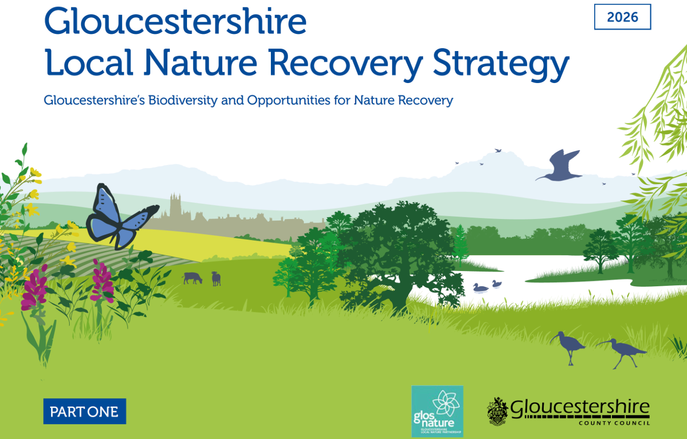
After a long process of data collation, consultation workshops, mapping and ecological modelling, the many map layers required for the Local Nature Recovery Strategy have been brought together. Using an embedded ArcGIS Online Local Habitat Map designed and mapped by GCER and the Gloucestershire Wildlife Trust Evidence Team, Gloucestershire County Council have launched the final, approved LNRS website here.
The website links to our embedded Local Habitat Map, plus lots of useful documentation including detailed descriptions of habitats and the potential measures for restoring nature throughout the county. GCER's next role in the LNRS process is to contribute to the monitoring and assessment of how the LNRS progresses and, hopefully, achieves its aims for the future of Gloucestershire's biodiversity.