GCER is one of a nationwide network of Local Environmental Records Centres (LERCs). A LERC may cover a unitary authority, metropolitan area, multiple counties or, most commonly, a single county. LERCs are usually hosted by another organisation such as a Wildlife Trust, museum service or local authority.
Click here to find out where your nearest environmental records centre is, anywhere in the UK. A map will load in a separate tab. Just click anywhere on the map to find which LERC covers the area you clicked on; or use the Search and Show Boundaries buttons to find the full area covered by each LERC.
Environmental Records Centres such as GCER do not exist in isolation. Formed in 2009, the Association of Local Environmental Records Centres promotes, supports and represents LERCs throughout the UK. ALERC's stated aim:
"... to provide a central voice for the views and concerns of the Records Centre community, whilst building a support-based network of knowledge and advice to meet the needs of its members."
![]()
ALERC carries out a wide range of work on behalf of LERCs throughout the UK. It collates and compiles consultation responses from individual LERCs, oversees our national policies, accreditation and standards, runs the ALERC Forum for members and holds a well-attended annual national conference.
The main tasks of LERC staff are to:
LERCs also help to promote recording and conservation activities, often taking part in Bioblitzes and species identification training. Some LERCs also provide computing and mapping support for those who regularly record wildlife.
LERC services and workloads vary according to the area they provide data for: those in a rapidly-developing urban area are likely to spend a lot of time on screening the impact of planning applications and providing data to ecological consultants on a commercial basis. LERCs in predominantly rural counties may spend less time providing "alert map" searches for proposed development and more time using their data and skills to contribute to partnership projects and protected area monitoring.
Where staffing time permits, LERCs will try to help with data requests and queries from recorders, students, researchers and members of the public. We aim to help people who want to record and identify wildlife. Like most LERCs, GCER relies on the experts who provide us with their wildlife records - with some recorders this can run to hundreds of thousands of individual sightings.
In addition to benefitting from the national organisation, LERCs also have regional groups which share common boundaries and local issues. GCER is part of the South West Local Environmental Records Centres regional group.
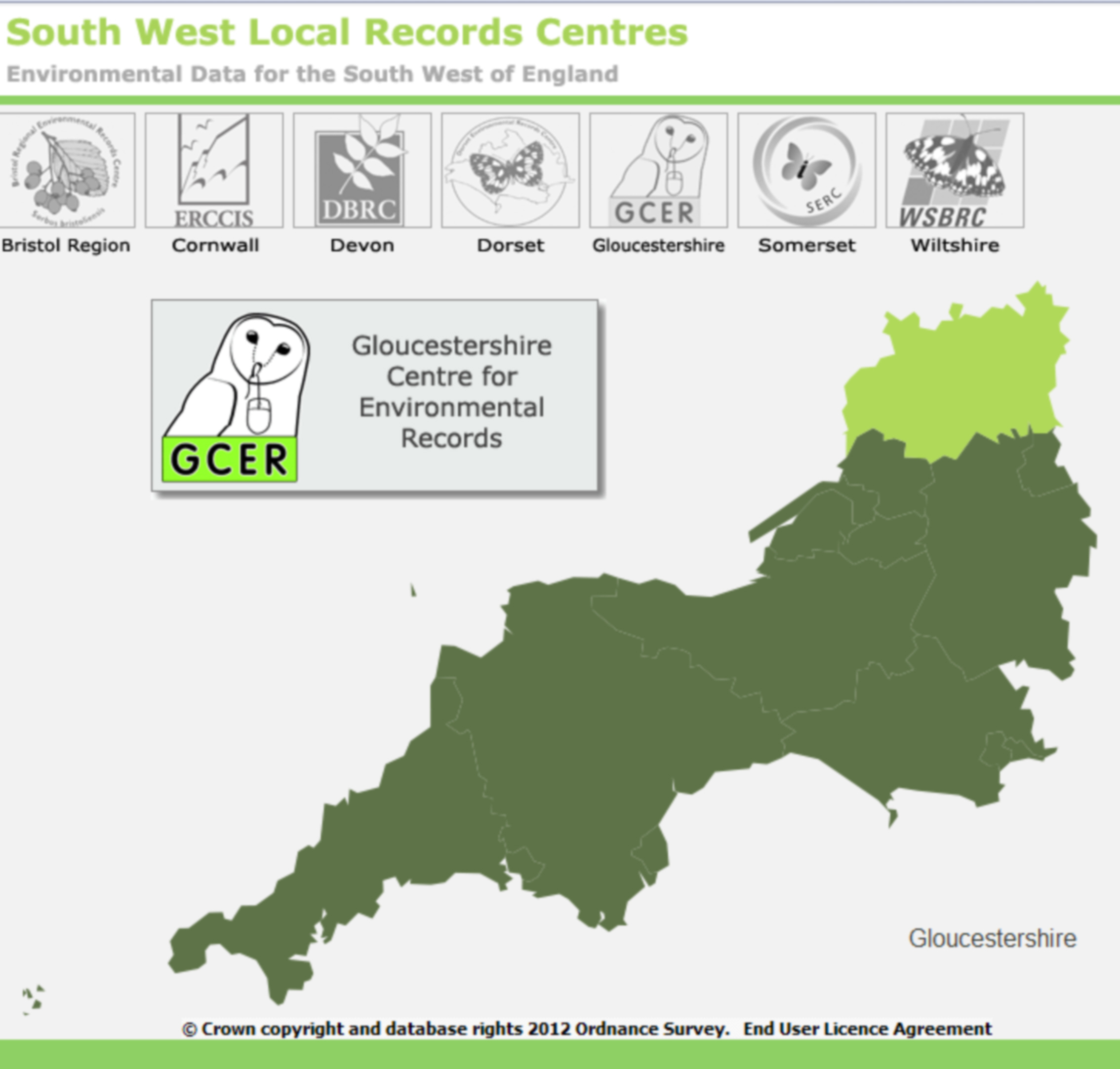
All seven members of the South West group are ALERC members. Whilst GCER tends to meet with South West LERCs, we are unusual in that we have borders with several different regions. The following LERCs share borders with Gloucestershire -:
Where GCER receives records or other information for areas outside of Gloucestershire, we pass on the information to the relevant LERC.